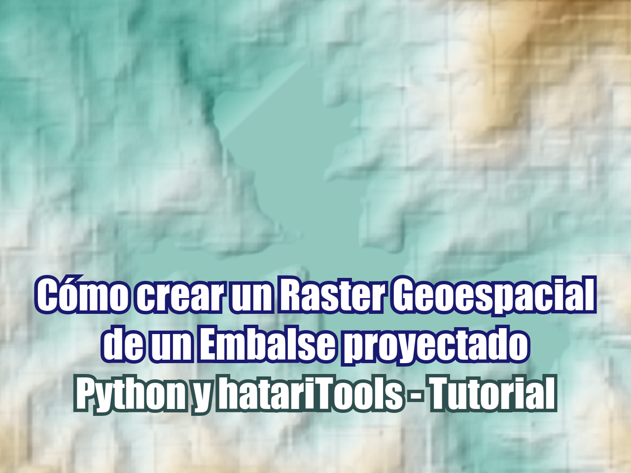
La tarea de modificar rasters geoespaciales considerando elementos futuros puede ser compleja con las herramientas SIG disponibles. Hemos optimizado la forma en que podemos representar la superficie de embalses futuros (o actuales) en un raster geoespacial. Este tutorial muestra el proceso completo para crear un raster geoespacial (archivo TIF) basado en los contornos de la presa y la extensión del embalse.
Tutorial
Código
#!pip install hatariToolsfrom hatariTools.geospatialTools.rasterTools import modifyRasterwithRasterOnMask, modifyRasterwithElevOnMaskwholeRasterPath = "../rst/tsfDem10m.tif"
partialRasterPath = "../output/damElev.tif"
maskLayerPath = "../shp/damEnvelope_v2.shp"
modifiedRasterPath = "../output/demWithDam.tif"modifyRasterwithRasterOnMask(wholeRasterPath,
partialRasterPath,
maskLayerPath,
modifiedRasterPath)wholeRasterPath = "../output/demWithDam.tif"
elevValue = 670
maskLayerPath = "../shp/tailingsEnvelope_v2.shp"
modifiedRasterPath = "../output/demWithReservoir.tif"modifyRasterwithElevOnMask(wholeRasterPath,
elevValue,
maskLayerPath,
modifiedRasterPath)Datos de ingreso
Puede descargar los datos de ingreso desde este enlace.