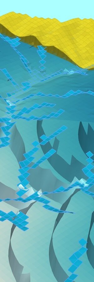
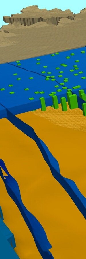
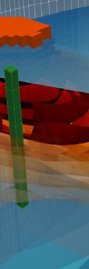
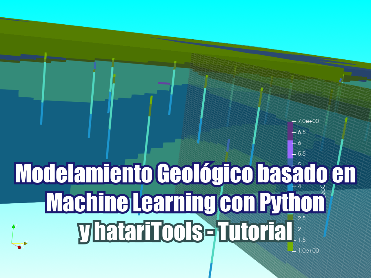
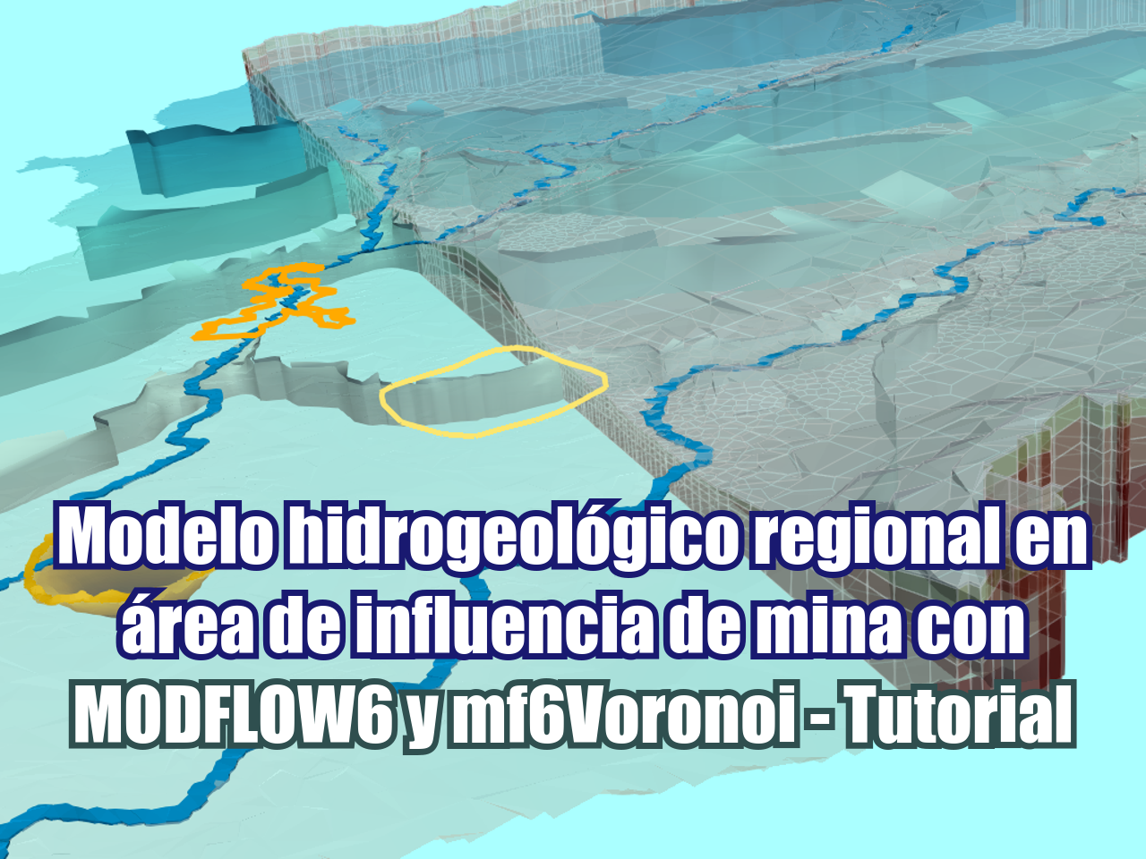
Gempy es una biblioteca de código abierto para modelamiento geológico en Python. La biblioteca es capaz de crear modelos geológicos complejos en 3D que incluyen estructuras, redes de fallas y disconformidades, los modelos geológicos se pueden combinar con análisis de incertidumbre.
Hemos creado un tutorial de modelamiento geológico basado en contactos geológicos y orientaciones superficiales. El tutorial se desarrolló en un contenedor de Gempy que se ejecuta dentro de Docker en Windows 10; el tutorial cubre la instalación del software y la creación de scripts el modelamiento geológico.
Tutorial
Tutorial para instalar Docker en Windows 10
Tutorial para la instalación de Gempy en Windows 10 con Docker
Tutorial Básico de Modelamiento Geológico con Python y Gempy
Datos de entrada
Puede descargar los datos de entrada de este enlace.
Código
Este es el código completo en Python para el tutorial:
#import required packages
import gempy as gp
import numpy as np
import pandas as pd
import matplotlib.pyplot as plt
import os
WARNING (theano.tensor.blas): Using NumPy C-API based implementation for BLAS functions.#create gempy model
geo_model = gp.create_model('Model1')/opt/conda/lib/python3.7/site-packages/theano/gpuarray/dnn.py:184: UserWarning: Your cuDNN version is more recent than Theano. If you encounter problems, try updating Theano or downgrading cuDNN to a version >= v5 and <= v7.
warnings.warn("Your cuDNN version is more recent than "#create grid
gp.init_data(geo_model, [0, 2000., 0, 2000., 0, 750.],[50, 50, 50],
path_o = 'simple_fault_model_orientations.csv',
path_i = 'simple_fault_model_points.csv',
default_values = True)Active grids: ['regular']
Model1 2020-10-02 18:58#get unsorted surfaces
geo_model.surfaces
| X | Y | Z | smooth | surface | |
|---|---|---|---|---|---|
| 0 | 1000 | 50 | 450.000000 | 0.000002 | Shale |
| 1 | 1000 | 150 | 433.333333 | 0.000002 | Shale |
| 2 | 1000 | 300 | 433.333333 | 0.000002 | Shale |
| 3 | 1000 | 500 | 466.666667 | 0.000002 | Shale |
| 4 | 1000 | 1000 | 533.333333 | 0.000002 | Shale |
#get information about orientations
gp.get_data(geo_model, 'orientations').head()| X | Y | Z | G_x | G_y | G_z | smooth | surface | |
|---|---|---|---|---|---|---|---|---|
| 0 | 1000 | 1000 | 300 | 0.316229 | 1.000019e-12 | 0.948683 | 0.01 | Shale |
| 1 | 400 | 1000 | 420 | 0.316229 | 1.000019e-12 | 0.948683 | 0.01 | Sandstone_2 |
| 2 | 500 | 1000 | 300 | -0.948683 | 9.998257e-13 | 0.316229 | 0.01 | Main_Fault |
#define stack from layers
gp.map_stack_to_surfaces(geo_model,
                        {"Fault_Series":"Main_Fault",
                         "Strat_Series":('Sandstone_2','Siltstone','Shale','Sandstone_1','basement')},
                        remove_unused_series=True)
| Fault_Series | Strat_Series | |
|---|---|---|
| Fault_Series | False | True |
| Strat_Series | False | False |
#review fault information
geo_model.faults| order_series | BottomRelation | isActive | isFault | isFinite | |
|---|---|---|---|---|---|
| Fault_Series | 1 | Fault | True | True | False |
| Strat_Series | 2 | Erosion | True | False | False |
#get grid geometry as array
geo_model.grid
Grid Object. Values:
array([[ 20. , 20. , 7.5],
[ 20. , 20. , 22.5],
[ 20. , 20. , 37.5],
...,
[1980. , 1980. , 712.5],
[1980. , 1980. , 727.5],
[1980. , 1980. , 742.5]])#plot surface points and orientations
plot = gp.plot_2d(geo_model, show_lith=False, show_boundaries=False)
plt.show()#set interpolator
gp.set_interpolator(geo_model, compile_theano=True, theano_optimizer='fast_compile',)Setting kriging parameters to their default values.
Compiling theano function...
Level of Optimization: fast_compile
Device: cpu
Precision: float64
Number of faults: 1
Compilation Done!
Kriging values:
values
range 2926.17
$C_o$ 203869
drift equations [3, 3]
<gempy.core.interpolator.InterpolatorModel at 0x7f61c11db110>#get variables of interpolation
gp.get_data(geo_model, 'kriging')| values | |
|---|---|
| range | 2926.17 |
| $C_o$ | 203869 |
| drift equations | [3, 3] |
#perform interpolation
sol = gp.compute_model(geo_model)
#show interpolated geological model
gp.plot_2d(geo_model, show_data=True,figsize=(12,6))
plt.tight_layout()
plt.show()
